



Visit / Things to do / Outdoors / Hiking
Hiking Trails in the Bay of Quinte
Bay of Quinte hiking trails run from accessible marsh boardwalks and lakeside paths to rugged woodland loops, drumlin climbs and rail trails you can follow all day. Every trail below lists its distance, difficulty and terrain, so you can pick the one that fits.
Find your trail
Pick a trail by how hard you want to work
Pick a level below to jump to its trails: easy walks, woodland hikes, lookout climbs or all-day routes. Seventeen trails across Belleville, Brighton, Quinte West and Greater Napanee. After beaches, picnic spots or splash pads instead? Our parks & conservation areas guide has those.
- EasyMostly flat, wide paths
- ModerateSome hills, roots and uneven ground
- ChallengingSteep climbs, rough or muddy footing
Easy walks & boardwalks
Flat, well marked and mostly under 3 km. Good with kids, strollers or a slow afternoon.
Presqu’ile Provincial Park · Brighton
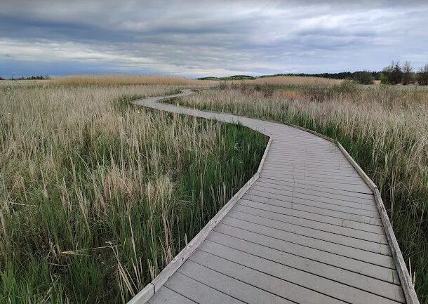
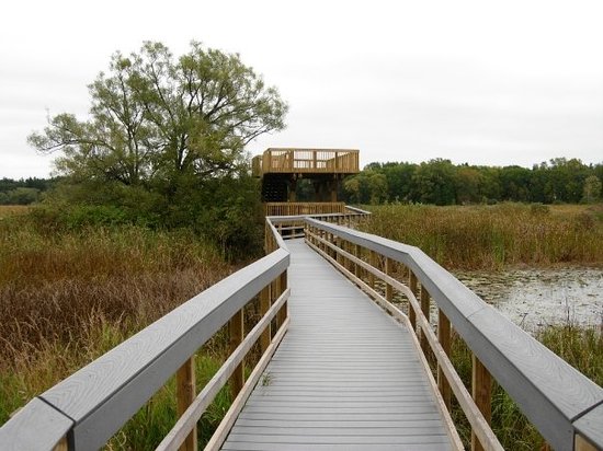
Marsh Boardwalk Trail
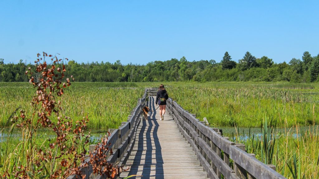
Two-thirds of this loop is accessible boardwalk over a cattail marsh, with two viewing towers and interpretive panels along the way. The last stretch follows bare ground through cedar forest. Allow about 30 minutes.
- Distance1.2 km loop
- LevelEasy
- TerrainBoardwalk, forest path
Presqu’ile Provincial Park · Brighton
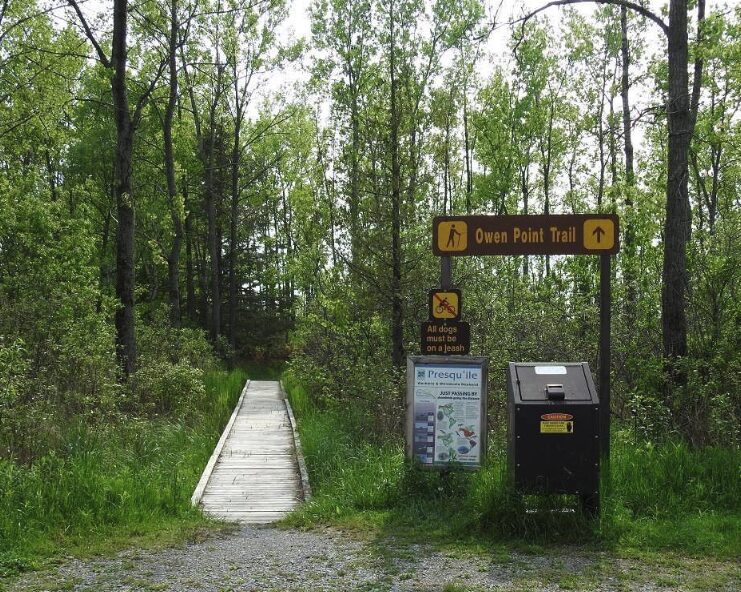
Owen Point Trail
Cuts through marsh and mixed forest to the sand and rocky beaches at the tip of the point, where migrating shorebirds stop in spring and fall. Sandy footing, so leave the stroller behind. About 45 minutes.
- Distance1.6 km loop
- LevelEasy
- TerrainSand, some boardwalk
Belleville
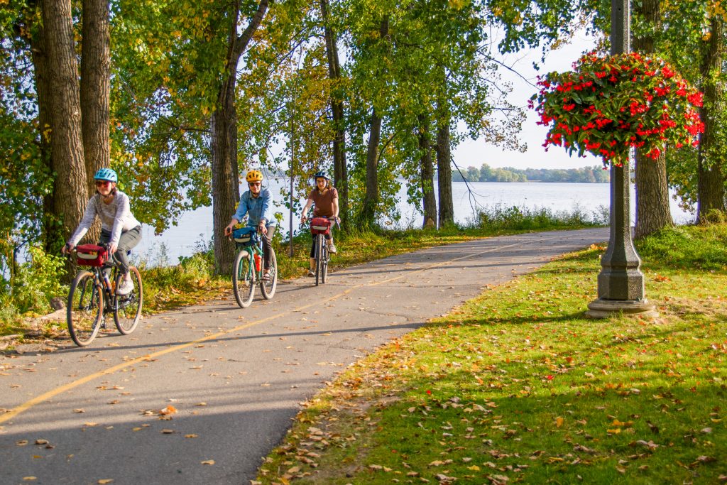
Kiwanis Bayshore Trail
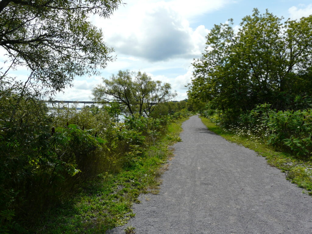
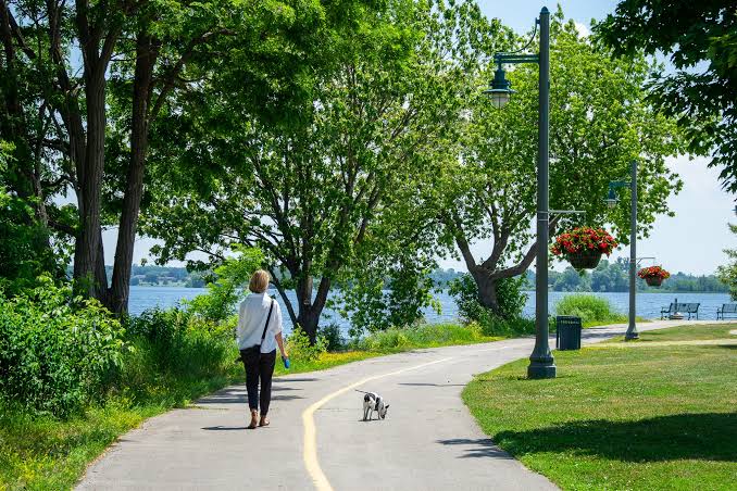
A paved, lit path along the north shore of the Bay of Quinte and part of the Great Lakes Waterfront Trail. At its east end it joins the Shirley Langer Trail for about another kilometre.
- Distance2.75 km one way
- LevelEasy
- TerrainPaved, lit
Greater Napanee
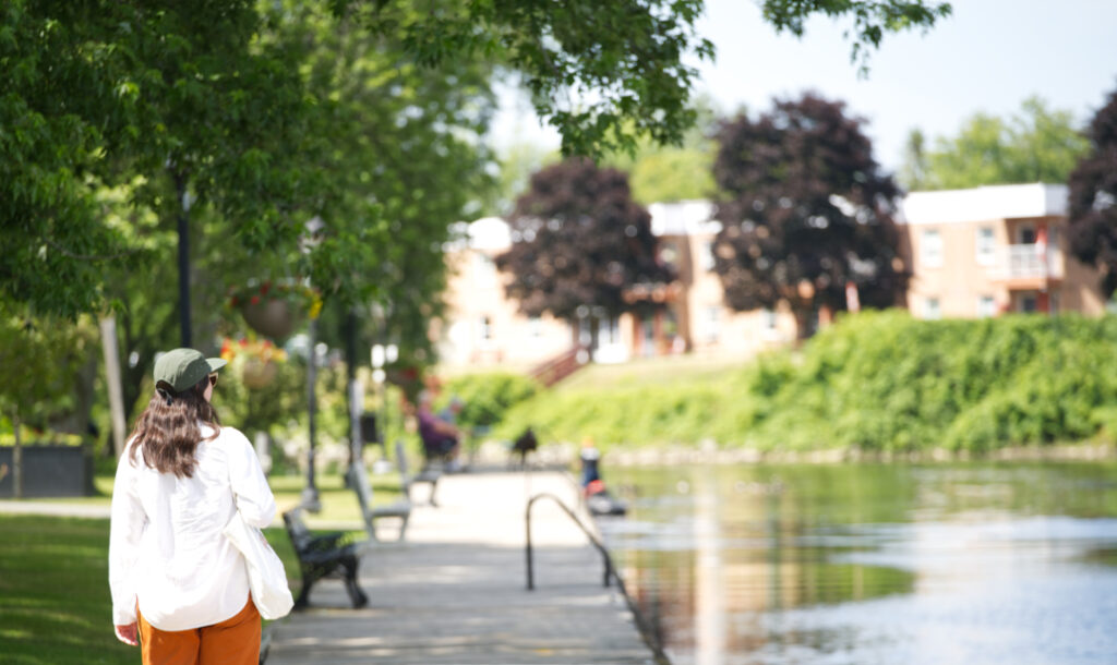
Napanee River Boardwalk
An easy, accessible stroll beside the Napanee River, linking Springside Park and its waterfall to Conservation Park. Short enough to pair with lunch downtown.
- Distance0.75 km one way
- LevelEasy
- TerrainBoardwalk, accessible
Bleasdell Boulder CA · Quinte West
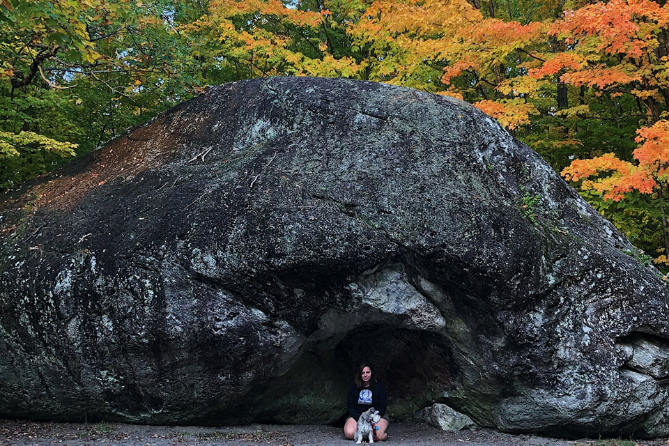
Bleasdell Boulder Trail
Crosses Big Boulder Creek on the way to one of the largest glacial erratics in North America. The parking lot is also a trailhead for the Lower Trent Trail.
- Distance1.5 km return
- LevelEasy
- TerrainCrushed stone
Trenton Greenbelt · Quinte West
Trent River Trail
Follows the Trent River from the boat launch at 441 Front Street up to Lock 1, the very first lock of the Trent-Severn Waterway. Shared with cyclists.
- Distance3 km one way
- LevelEasy
- TerrainCrushed stone
Woodland & wetland hikes
Longer outings with roots, hills and the odd muddy patch. Wear proper shoes and give yourself a couple of hours.
H.R. Frink CA · Belleville
H.R. Frink trails
Start on the wetland boardwalk, then head into the woods along the Moira River. Trails are graded beginner (wide and even), intermediate (some steep, uneven pitches) and advanced (long climbs, narrow, wet in spring). Paid parking.
- DistanceAbout 10km of trails
- LevelModerate
- TerrainBoardwalk, forest, river
North Potter’s Creek CA · Belleville
Murphy’s Trail
Named for a former Quinte Conservation general manager, this network wanders meadows, old orchards and forest. The beginner loop is wide and even; the advanced route adds steep climbs and seasonal creek crossings. Paid parking.
- DistanceAbout 7 km of trails
- LevelModerate
- TerrainMeadow, orchard, forest
Goodrich-Loomis CA · Brighton
Goodrich-Loomis trails
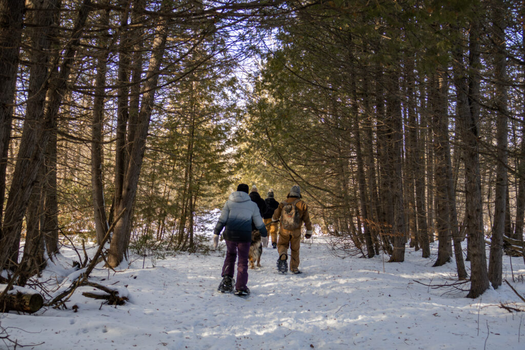
Six trails, from the short Junior Loop to the Esker and North View trails, wind through forest, wetland and oak savannah along Cold Creek. In winter the same trails are used for snowshoeing and cross-country skiing.
- Distance12 km, six trails
- LevelModerate
- TerrainForest, esker, wetland
Presqu’ile Provincial Park · Brighton
Pioneer & Newcastle Trails
Presqu’ile’s longest walk: two connected loops, Pioneer (3.8 km, yellow markers) and Newcastle (4.3 km, orange), through mixed forest, plantations and old fields. Allow about three hours for both.
- Distance8.1 km, two loops
- LevelEasy
- TerrainBare ground, some roads
Proctor Park CA · Brighton
Proctor Park Trail
Starts flat beside Butler Creek in the cedars, then works your legs as it climbs out of the valley into maple and beech. The reward at the top is a view over Presqu’ile Bay.
- DistanceAbout 2.5 km
- LevelModerate
- TerrainCreek valley, hills
Menzel Centennial Nature Reserve · Greater Napanee
Oivi’s Nature Trail
Flat and very well marked, with posts naming each habitat as you pass from fen to field. It ends at a picnic table on Mud Lake. No parking lot or facilities: park along Roblin Road. Low spots can flood in spring.
- Distance3.5 km out-and-back
- LevelEasy
- TerrainFlat path, boardwalk
Lookout climbs
Short climbs, big views. Sager will test your legs; Mount Pelion is an easy ten minutes up. Both are at their best in fall colour.
Sager CA · Quinte West
Sager lookout climb
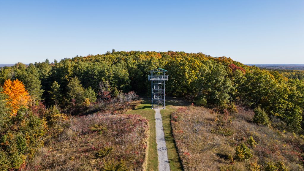
Ninety-seven steps climb a glacier-shaped drumlin to a 30-foot lookout tower, and 48 more take you to the top. Short, but your legs will know about it.
- DistanceUnder 1km
- LevelChallenging
- TerrainStairs, steep hill
Quinte West
Mount Pelion
A quick climb up “Trenton’s Mountain” from Dufferin Avenue to an observation deck over the city and the bay. About ten minutes up.
- Distance0.6 km return
- LevelEasy
- TerrainHill path
Long distance trails
Rail trails and shoreline routes for a full day on foot or by bike. Hike any section and turn back whenever you like.
Quinte West
Lower Trent Trail
A former rail line from Glen Miller to Glen Ross that never climbs steeper than 2.5 degrees. Start at Lock Road or Bleasdell Boulder, Batawa or Frankford. At Glen Ross it joins the Hastings Heritage Trail heading north.
- Distance17km one way
- LevelEasy
- TerrainCrushed limestone
Belleville
Trans Canada Trail
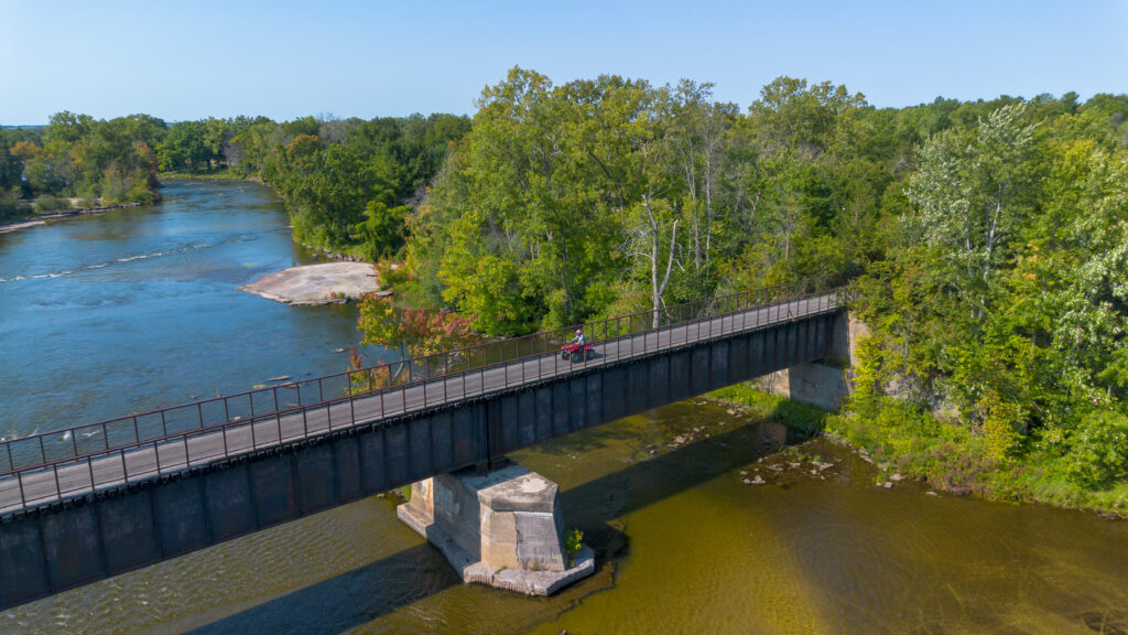
From near Corbyville, Canada’s cross-country trail heads north toward Stirling on a firm, wide surface. It’s shared with horses, snowmobiles and ATVs, so stay alert and keep to the right.
- DistanceAbout 23.5 km
- LevelEasy
- TerrainFirm aggregate
Across the region
Great Lakes Waterfront Trail
The shoreline route links Brighton, Quinte West, Belleville and Greater Napanee, mixing off-road paths like the Kiwanis Bayshore Trail with quiet roads. Choose a stretch, walk out and back.
- DistancePick a section
- LevelEasy
- TerrainPaths and quiet roads
Before you hit the trail
Leave only footprints
Stay on marked trails, keep dogs leashed and pack out everything you bring. Low trails can flood in spring and close after storms, so check the trail’s page before you go. Quinte Conservation areas charge for parking; a day pass works at all of them.
Rather a picnic than a hike?
Parks & conservation areas
Beaches, splash pads, picnic shelters and lookouts, with what you’ll find at each park.
Digital Discovery Map
Map your day outside
Find parks, trails, beaches and boat launches plus 700+ businesses and attractions — then save your favourites to a trip itinerary.